
Woodbridge Neighbors by Parcel
The public-record unit for Woodbridge neighbors is the parcel and block context, not a household roster. County Mapper can place a subject address among nearby parcel shapes. Assessment and deed records can add a source-supported owner or transaction. The street directory supplies range, ZIP, and precinct context. Civic resources may name an association’s public contact. Each path has a narrow purpose, and none should be read as a list of everyone who lives nearby.
| Block source | What it can show | Access boundary |
|---|---|---|
| County Mapper | Adjacent parcels, GPINs, addresses, and active layers | Free informational map, not a legal survey. |
| Parcel History Tree | Parent and child parcel relationships | GPIN-based geography, not occupants. |
| Assessment and deeds | Recorded owner, legal description, sale or assessment chronology | Do not infer current occupants. |
| Street directory | Ranges, subdivision or area, precinct, ZIP, and districts | Zero range means no information. |
| HOA/COA and POA sources | Voluntary public association and service-area contacts | No membership roster was located. |
| Voter-list law | Limited list route for qualified requesters | Not a neighborhood roster. |
Recorded ownership and occupancy are different facts. A parcel owner may use another mailing address, a resident may have no ownership interest, and a historic record has its own date. Treat the source as a record of land or association context. The safest result is a short, dated note about the parcel, not a profile of private households.
The County street directory adds a useful geographic check before the map is opened. Its rows show the street type, segment, side-specific low and high ranges, subdivision or area, precinct, districts, and ZIP. That can establish which part of a road belongs in the block view. A zero range means no information in that field, not an empty street. The assessment portal can then be searched by the documented address or GPIN routes, with any owner or sale result treated as a record lead rather than an occupancy conclusion.
Map a Woodbridge Block
Keep the process small and geographic. Begin with one subject address, then work only through the parcels that physically adjoin it or fall within the selected close-scale block view. County Mapper’s identify and adjacent-parcel tools, including its exposed buffer and selection mechanics, support that limited comparison. The purpose is to understand parcel relationships and public civic context, not to infer a private household’s membership or routine.
- Enter the street number, name, and type in County Mapper, then confirm that the selected parcel matches the subject address.
- Record the subject GPIN and inspect only touching or clearly adjacent parcels at close scale. Save the layer name and date with any map note.
- For each adjacent GPIN, check the corresponding assessment or recorded instrument for a source-supported parcel fact and date.
- Use the Parcel History Tree when a split or merger could explain a changed boundary, street number, or subdivision relationship.
- Check a public association or service-area layer only for its stated civic contact. For a full named-street ownership trail, use the Woodbridge street directory.
This sequence produces a parcel-by-parcel record trail. It does not authorize a reverse lookup of private contact details, and it does not convert a map observation into a boundary survey or residency finding.
Woodbridge Adjacent Parcel Method
County Mapper identifies the address, GPIN, parcel boundary, and active layers around a Woodbridge block. At close scale, Show Parcel Info provides hover information that can be compared with a selected adjacent lot. The most useful notes are the GPIN, street and subdivision label, map layer, and date. A map display may not line up perfectly with aerial imagery, which is one reason the result remains informational rather than a legal survey.
The County Mapper capture shows the query and parcel-results view used for this kind of block research.
The GPIN is the bridge from the map to the public parcel record. The Parcel History Tree can show whether an adjacent lot came from a parent parcel. That may clarify land history, but it does not identify neighbors or establish that a person moved between parcels.
Write only what the layer actually displays. A useful note might say that a GPIN borders the subject parcel, that an association layer covers an area, or that a recorded deed has a stated date. It should not add an unverified household member, private contact method, delivery detail, or claimed routine. This approach leaves enough information to revisit a public record while respecting the difference between a geographic relationship and a personal one.
Woodbridge Neighbor Record Dates
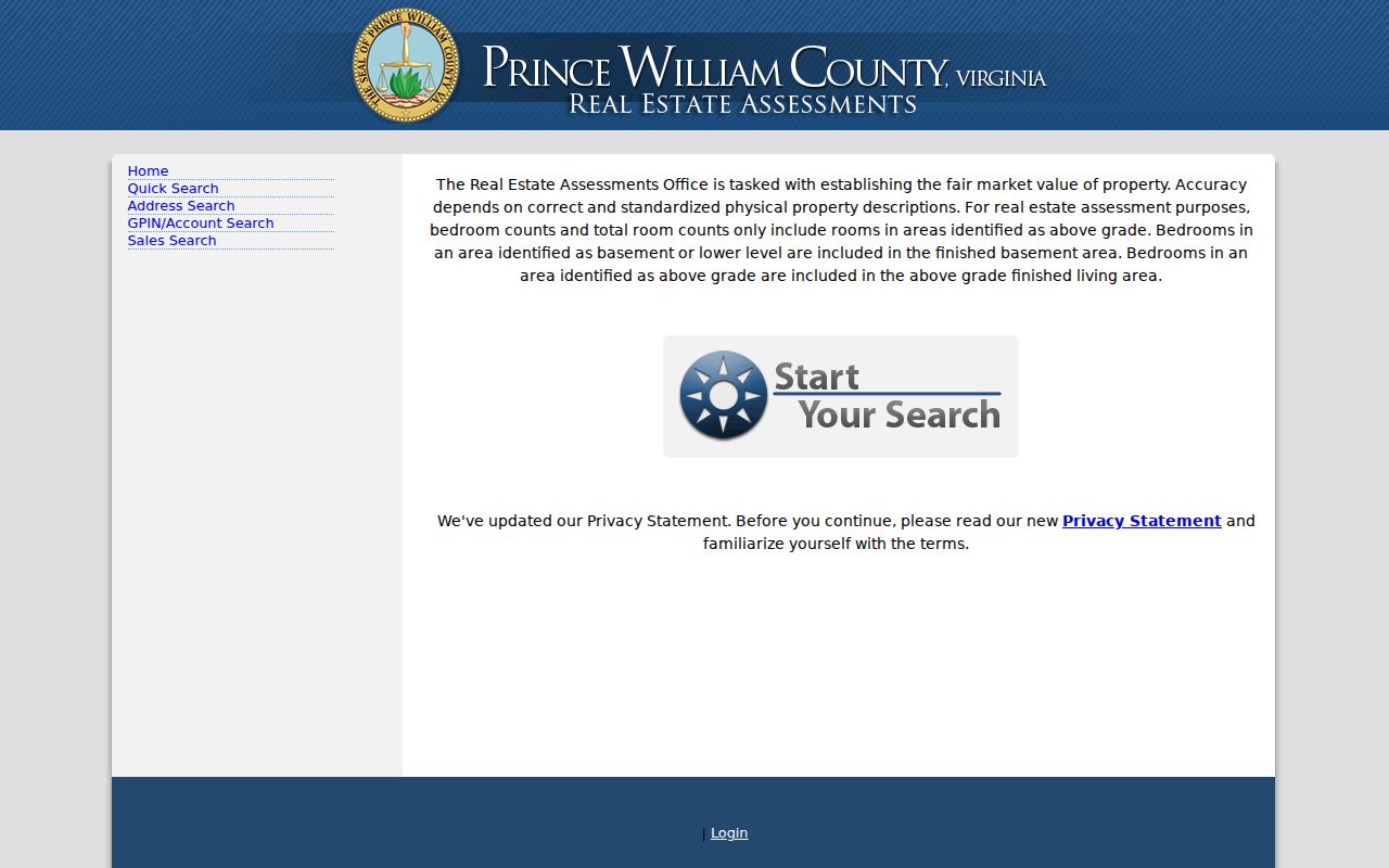
Use the assessment and recorder paths for different checks. Real Estate Assessments offers Quick Search, Address Search, GPIN/Account Search, and Sales Search. Its verified formats include account or RPC, GPIN, sale date, and sale amount. The public capture did not verify an owner-name search or precise parcel-card labels. An assessment result can provide a dated lead, but a mailing address should not be called a residence without confirming the live field meaning.
The Prince William Real Estate Assessments portal is the county’s public starting point for the assessment side of a Woodbridge neighbor search.
For the land-record side, Eagle Recorder supports searches by grantor or grantee, book and page, instrument, and date. The party names document a recorded transaction, not who presently lives at a parcel.
The Eagle Recorder information page describes its search, image, account, and copy steps.
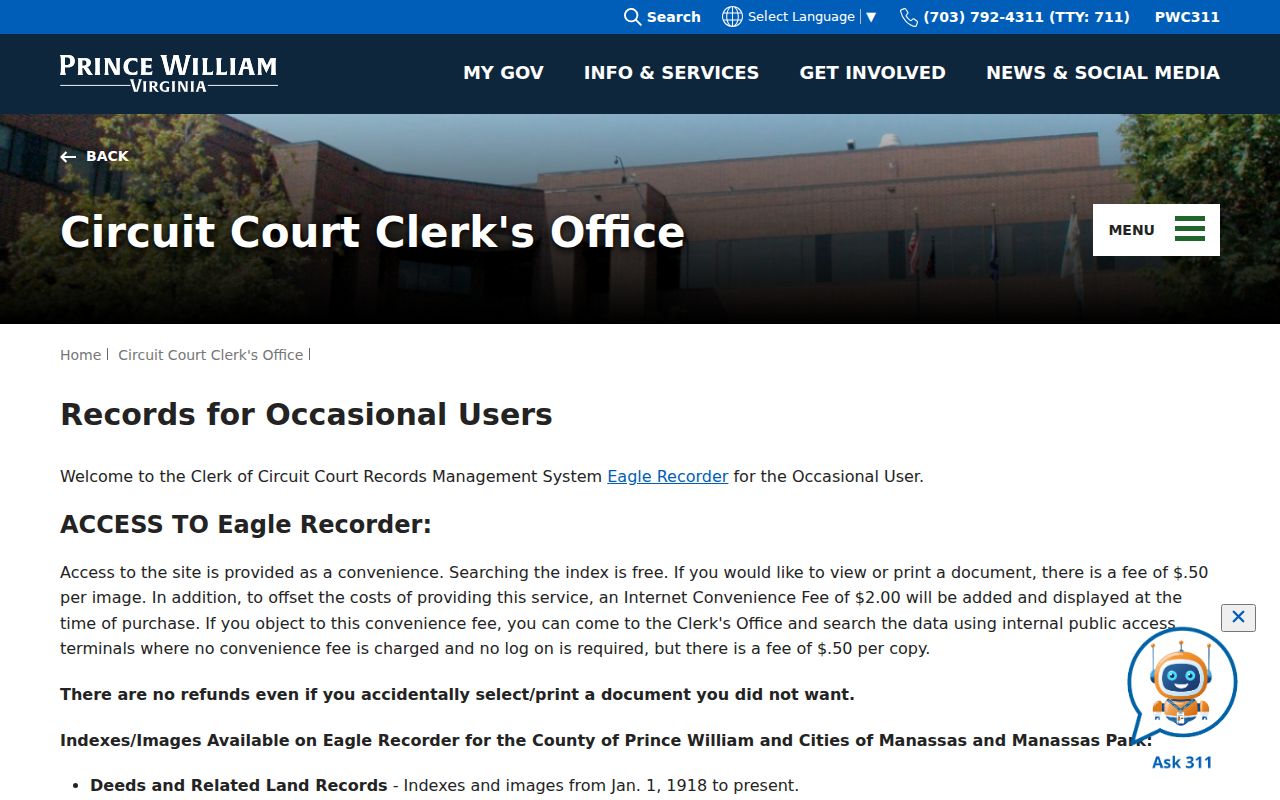
Images and copies follow the Clerk’s account or purchase process. Compare an assessment sale lead against the recorded instrument and preserve the party role, date, and GPIN instead of making an occupancy assumption.
Woodbridge Civic Contact Layer
Prince William’s HOA/COA database is a voluntary public contact directory, not a membership directory. The GIS POA layer may also supply an association name, website, phone, management company, public address, zoning case, or GPIN where those fields were supplied. Contact fields can be stale or voluntary, so cross-check the county listing and an association’s own current public contact page before relying on the lead.
The County HOA/COA database is shown in this Woodbridge neighbors reference.
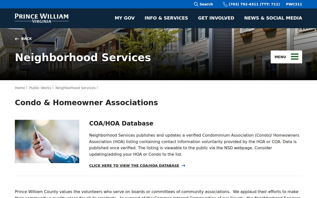
County material identifies public civic references without supplying a resident-membership roster.
| Civic reference | Public-record use |
|---|---|
| Lake Ridge-Occoquan-Coles Civic Association | Named in County civic material; use only its public contact route. |
| Woodbridge Potomac Communities Civic Association | A civic-context lead, not proof that an address belongs to the group. |
| Mid County Civic Association of Prince William | Named in the County’s 2024 workgroup material; verify current contact details. |
| HOA Roundtable | County-listed civic reference; no roster was located. |
Note: An association name near a parcel does not establish membership, household identity, or a person’s current contact information.
Woodbridge Neighbor Sources Compared
Official sources and commercial neighbor-lookup services serve different purposes. The official paths record a defined parcel, instrument, civic contact, or statutory access rule. Commercial services may combine older and commercial data, but they do not replace a county map or Clerk record. Do not use either category to turn a neighborhood into a private people list.
| Source category | Best block question | Key limit |
|---|---|---|
| Official parcel and deed records | Which recorded land record belongs to this GPIN? | Ownership is not occupancy. |
| Official civic contact sources | Is there a public association contact for this area? | Contacts may be voluntary or out of date. |
| Commercial neighbor-lookup services | Can a lead be independently checked? | Data can be incomplete, mixed in date, or wrong. |
For a voter question, Virginia’s self-lookup is not a block-search tool. Sections 24.2-405 and 24.2-406 restrict voter-list access to specified lawful categories, and a request requires the appropriate certification. Voting history, where lawfully obtained, does not reveal a ballot choice.
Woodbridge Voter Roster Limits
The Virginia Voter Information system is designed for an individual to check that person’s own registration status. The researched portal path asks for a name, date of birth, last four Social Security digits, locality, and a certification. It can return the individual’s registration status, polling place, election district, absentee-ballot status, and voting history. Virginia does not register voters by party, and voting history does not show how anyone voted.
Virginia law treats voter data as a controlled record, not a block directory. The state may furnish certain lists only to specified candidates, parties, political committees, officeholders, qualifying nonprofit voter-participation organizations, courts or jury officials, and other recipients named by statute. The required statement of responsibility identifies the requester category and lawful purpose. Protected voters and Address Confidentiality Program participants may have a hidden or substitute location. Do not use old land or directory records to work around that protection.
Woodbridge Block History Cautions
Historic context can help explain a parcel or road name, but it should not be used to connect a past tract to a present household. County Mapper can display cemetery and preservation layers, including a 50-foot sensitivity area. That layer is a planning and preservation tool, not proof that a person is buried at a precise point. Do not publish directions or access details for a private cemetery.
Historic Prince William’s cemetery map and database is a local-history lead for a Woodbridge block.

When an older parcel question matters, reconcile a map clue with a deed, plat, probate source, or dated library record. A missing modern result is not proof that an older land or family connection never existed.
Protecting Woodbridge Neighbor Privacy
Private household members, utility accounts, delivery records, unlisted telephone users, driver information, protected voters, and Address Confidentiality Program locations do not belong in a neighbor search. The program gives eligible participants a substitute address and protects the actual location from general disclosure. Never attempt to reconstruct it from a parcel, an old directory, a postal label, or a map layer.
Virginia’s voter portal is self-service, and there is no lawful public list of everyone on a Woodbridge block. If a government record appears wrong, use that custodian’s correction, appeal, FOIA clarification, or agency process. Do not publish a full identifier or an inferred protected location to “correct” a record.
Lawful use. Use Woodbridge neighbor records for civic, historical, genealogical, and records-access research. Never use a block search to surveil, harass, intimidate, impersonate, or harm another person.