
Search a Woodbridge Street
A street-by-street search begins with the physical address, not a person’s name. Prince William County’s records can show a parcel, a recorded party, a sale lead, a street segment, or a dated directory entry. Those are useful records for property, family-history, and civic research, but they do not establish every person who lives there. Separate ownership from occupancy, and separate a current record from a historical one. The workflow below keeps those distinctions visible.
- Use the County street directory to normalize the street name and type, then find the matching segment and its left- and right-side ranges.
- Run the number, name, and type in County Mapper. Record the GPIN, parcel outline, legal-description lead, subdivision or area, and the map date.
- Use the same address or GPIN in Real Estate Assessments. Treat the assessment and sale information as a lead that needs comparison with the recorded instrument.
- Search Eagle Recorder by recorded party, book and page, instrument, or date. Start with the present instrument and work backward when an ownership history matters.
- For a dated address trail, consult RELIC’s regional crisscross and telephone directories. Retain the volume year and page rather than treating a directory entry as current.
The Virginia voter portal is self-service for the voter, not a public roster for a road. Its limited list-access rules do not turn an address into a way to assemble a block of personal records. A whole-road historical question can move from the parcel trail to a dated directory source, while a current question should stop at the record that actually supports it.
Keep a small source ledger as the search moves. For each result, note the exact address form, GPIN, source URL, access date, record date, and whether the fact came from a map, assessment, recorded instrument, or printed directory. A sale date and a directory year are not interchangeable. When the same address appears under a different street form, preserve both spellings until the parcel or recorded document resolves the connection. That discipline is especially useful along a long Woodbridge road with more than one segment or postal label.
Woodbridge Street Range Details
The official PDF is the right first check when a Woodbridge address is uncertain. Its street rows pair a street name and type with segment information, low and high ranges for each side, subdivision or area, precinct, legislative districts, and ZIP. That context can distinguish two similarly named roads or show which segment should be sent to the map. A zero range means that the directory has no information for that range. It does not mean a road has no homes or that a resident is absent.
County GIS also assigns and validates official addresses, including suites, apartments, and buildings. A number that looks different from an older note may reflect an official reassignment, a changed street segment, or a unit detail. Preserve the address exactly as it appears in the source before testing a newer form. This small check prevents a street directory search from joining records that merely look alike.
Geography has layers in Woodbridge. A postal label, Census place, street segment, precinct, school or service area, and historic tract can describe overlapping places. Prince William County is the land-record jurisdiction, while Manassas is the courthouse seat. Use the county segment and GPIN as the practical anchors when a Woodbridge mailing label reaches into a nearby community such as Lake Ridge or Dale City.
Note: A ZIP, precinct, or district narrows geography, but it is not evidence of a particular person’s current address.
Woodbridge Property Search Fields
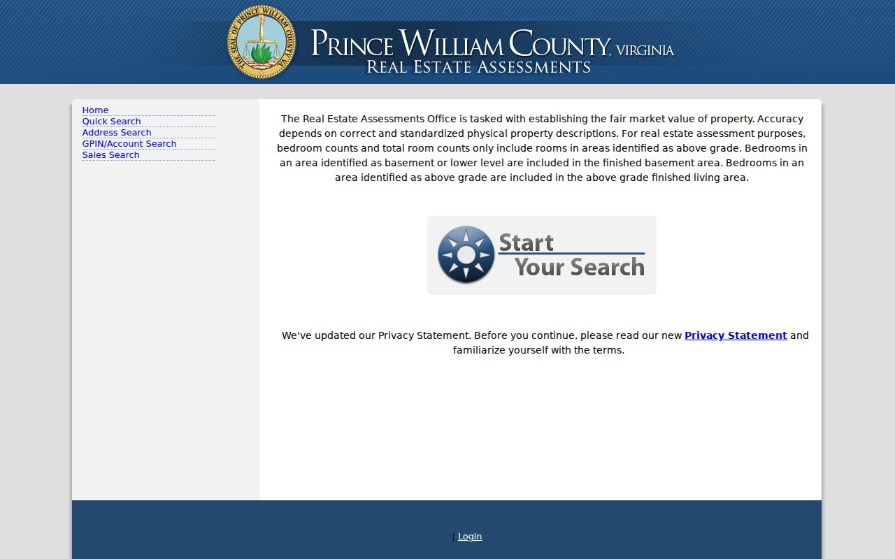
Prince William Real Estate Assessments supplies several documented ways into a parcel record. The landing screen offers Quick Search, Address Search, GPIN/Account Search, and Sales Search. The verified search formats include account or RPC, GPIN, sale date, and sale amount. The research capture did not verify an owner-name search or the precise labels used on an individual parcel card, so those should not be assumed when choosing a search path.
| Assessment route | Verified entry or format | Careful use |
|---|---|---|
| Quick Search | Account or RPC | Begin with the identifier shown by the county. |
| Address Search | Address route exposed | Confirm the street spelling and unit details first. |
| GPIN/Account Search | GPIN or account | Use the map-derived key to avoid a name match. |
| Sales Search | Sale date or sale amount | Compare a sale lead with the recorded deed. |
The Prince William Real Estate Assessments portal is shown here in its public search view.
Use an assessment result to anchor the next record search, not to label a private household. A mailing address can differ from the parcel’s situs, or physical, address. The field labels should be verified on the live card before either is described as a residence.
Woodbridge Mapper Parcel Clues
County Mapper accepts a street number, street name, and type, or a GPIN. At close scale, Show Parcel Info and the identify tools can expose the address, parcel, active layers, and nearby features. Zoom far enough in before recording a parcel observation. The County describes this map as informational, not as a legal survey, so a boundary or aerial image is not a substitute for a recorded plat or a survey.
The County Mapper query panel and parcel results illustrate the geographic part of a Woodbridge street directory search.
Save the GPIN with the street segment and map layer. The Parcel History Tree can then show parent and child relationships created by a subdivision, split, or merger. That history helps explain why a newer address may descend from an earlier parcel without proving that any person moved.
Woodbridge Street Deed Trail
Land records provide the stronger ownership trail. Eagle Recorder’s online deed and plat paths cover 1918 forward, while the Historical Online Portal, or HOP, extends research into earlier deeds and loose historic papers. Search by grantor or grantee, book and page, instrument number, or date. A grantor transfers an interest; a grantee receives one. Those roles matter when a street directory search is moving backward through title.
The Eagle Recorder information page documents the account, index, image, shopping-cart, and copy process.
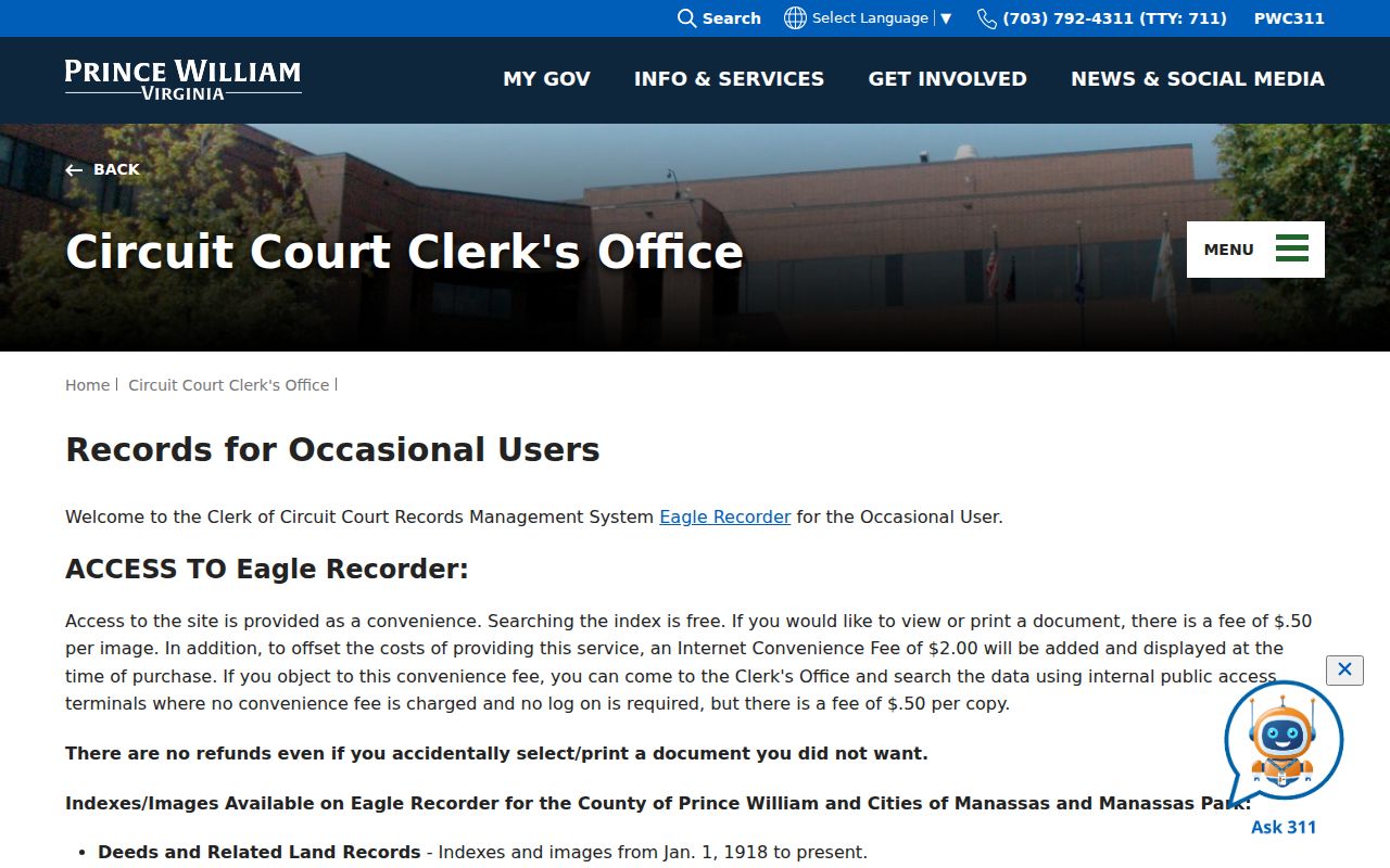
The index is free to search, but image and copy access involves the Clerk’s account or purchase process described by the office. When an older deed is not in the modern route, use the Clerk’s research page to reach HOP and the in-person research options. A recorded party still is not proof of present residence.
The Circuit Clerk remains the custodian when an online index does not answer the question. The Judicial Center in Manassas has public research terminals and separate service rooms for civil and criminal records. A request should identify the existing record as closely as possible, using a book and page, instrument number, party, date, or GPIN-derived legal description. Asking for a new street-wide name list is not the same as requesting a defined record, and the Clerk’s recorded-land route is the better path for a deed or plat question.
Note: Record the instrument date, party role, GPIN, and original street wording together before drawing a historical connection.
Woodbridge Address Records Compared
No single Woodbridge street directory supplies a complete answer. The address-keyed sources below are most useful when their dates and limits remain attached. The street directory identifies a segment, the map identifies land, the assessment supplies a current parcel lead, and the recorder supplies a transaction trail. RELIC is a historical test for an address, not a replacement for the parcel chain.
| Address source | Key used | Woodbridge result | Limit |
|---|---|---|---|
| County street directory | Street name, type, number range | Segment, ranges, area, precinct, districts, ZIP | Zero range means no information. |
| County Mapper | Street number/name/type or GPIN | Parcel, address, layers, adjacent features | Use close scale; map is informational. |
| Real Estate Assessments | Address, GPIN/account, or sale terms | Assessment, sale, valuation, legal-description lead | Exact card labels remain unverified. |
| Eagle Recorder | Party, book/page, instrument, date | Recorded party and instrument chain | Series coverage and images vary. |
| RELIC directories | Historical surname, address, or phone | Dated address and telephone context | Regional volumes and missing years. |
A historic address can be tested in RELIC’s crisscross section, which sorts an older directory by address or phone rather than by surname. The Woodbridge-area run is regional, covering Quantico, Triangle, Dumfries, Woodbridge, and Occoquan for 1963 through 1980. For a deeper directory-volume question, use the Woodbridge city directory collections rather than treating one printed entry as current evidence.
Woodbridge Street Names Through Time
Street names can be the missing link in a record chain. Route 1 was renamed from Jefferson Davis Highway to Richmond Highway through a county process. A deed, news item, court filing, or historical directory may retain the former name even when a current map uses Richmond Highway. Search both forms and keep both in the source ledger. The County’s Route 1 renaming record supplies the official crosswalk.
Woodbridge is also a community label inside Prince William County, not an incorporated city with its own land-record office. A postal city, county street segment, ZIP, precinct, and historic tract can point to overlapping but different areas. Let the GPIN and the recorded legal description settle a parcel question. Do not silently replace an old address term with a modern one.
Woodbridge Street Historic Gaps
Older street research has a local records-history problem. Prince William’s early books were affected by Civil War-era destruction, theft, and loss, so an absent entry in a modern index is not a final historical answer. In 2023, Liber A from 1731–1732 and a Dumfries District order book from 1798–1799 were returned after being located at the Library of Virginia and digitally copied. Their return is a practical reminder to check the historic path when a street or parcel trail stops.
For a pre-1918 question, branch from Eagle Recorder to HOP, RELIC, Library of Virginia microfilm, and related newspaper, probate, or cemetery evidence. Old records may use a creek, ferry, plantation, district, or village rather than a modern Woodbridge address. A parcel chain and a plat can bridge that language when the documents support it. Do not convert a historic tract name into a claim about a modern occupant.
Woodbridge Street Terms Defined
Address research moves between several record systems. These terms keep a Woodbridge street directory result from being read too broadly.
- Parcel
- A mapped unit of land identified in County Mapper and tied to a GPIN.
- Situs address
- The physical property location. It can differ from an owner’s mailing address; live assessment-card labels should be checked before relying on either field.
- Plat
- A recorded map or plan associated with land. The Clerk’s system has plats from 1918 forward.
- Crisscross directory
- A historical address or phone cross-reference used to test a dated street lead.
A parcel and a plat describe land. A crisscross listing describes a directory’s publication year. Keeping those records separate is more useful than turning them into a private household profile.
Limits of a Woodbridge Street Search
A Woodbridge street directory cannot supply a verified list of all residents on a road. Private household members, utility customers, delivery recipients, unlisted phone users, driver records, and protected locations are not appropriate targets for an address search. A deed party may be an owner, a tax mailing address may not be the situs, and a dated directory entry only speaks for its own publication year.
Virginia’s voter system does not fill that gap. The normal voter lookup is a self-service tool, and access to voter lists is controlled by statute rather than by street. The Address Confidentiality Program protects eligible participants through a substitute-address system. Do not try to infer a protected location from older records, a map, or a mailing pattern.
Lawful use. Woodbridge address records are for historical, civic, genealogical, and records-access research. Virginia law prohibits stalking and computer harassment; never use an address trail to watch, threaten, contact repeatedly, or harm someone.