
Woodbridge ZIP Coverage
Prince William County’s official ZIP map identifies three postal labels for Woodbridge: 22191, 22192, and 22193. The labels describe mail-routing geography, and the map shows that the community name overlaps Lake Ridge and Dale City. This Woodbridge postal reference keeps that overlap visible instead of treating every address with a Woodbridge mailing label as the same civic or parcel geography. For a local record, preserve the ZIP and community label recorded at the time, then compare it with the County’s parcel and court jurisdiction.
| ZIP Code | Areas Covered | Post Office | Notes |
|---|---|---|---|
| 22191 | Woodbridge | Woodbridge Post Office, 1810 Reddy Drive, Woodbridge VA 22191-9998 | Primary Woodbridge retail-branch label; verify the delivery address with USPS |
| 22192 | Woodbridge; Lake Ridge | Exact retail-office information was not located in reviewed official USPS results | Shared postal and community label; Census ZCTA and CDP geometry differ |
| 22193 | Woodbridge; Dale City | Woodbridge SDC, 3360 Post Office Road, Woodbridge VA 22193-9905 | A delivery or SDC location is not necessarily a retail counter |
The 22191 branch, the 22192 information gap, and the 22193 SDC are different facts. They should not be merged into an invented local office list. A ZIP reference can identify the postal context for a Woodbridge address, but it cannot identify everyone served by that code. County records and a full street address remain necessary when a research question concerns a specific parcel or historical location.
Woodbridge USPS ZIP Confirmation
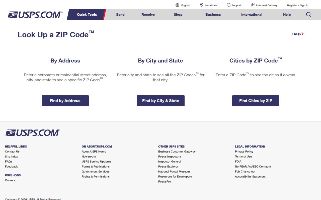
The USPS ZIP Code Lookup is the direct address-to-ZIP validation route. Use it before treating a code from an old list, informal note, or secondary record as a current delivery code. It helps confirm a full mailing address, but it does not establish a parcel line, city limit, owner, or resident. For Woodbridge research, save the returned postal formatting with the source date and then move to a county source for land or address interpretation.
The official USPS lookup route below is the proper first check for a Woodbridge ZIP tied to a full delivery address.
USPS also lists the Woodbridge retail branch in 22191. The branch record is useful for postal-service confirmation, while the County map supplies the broader Woodbridge postal geography.
The USPS Woodbridge Post Office listing shows the Reddy Drive retail location.
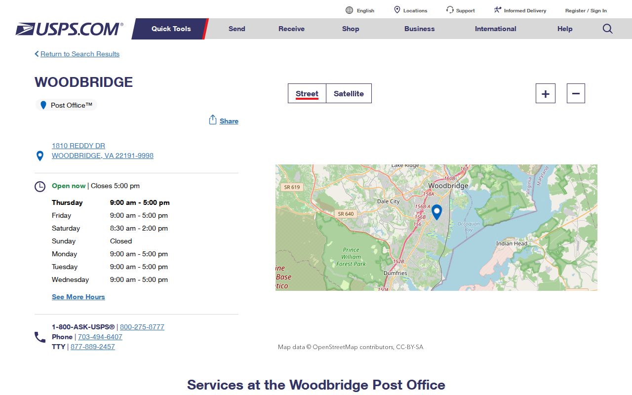
The 22191 address should not be used to imply a retail counter in 22192 or at the 22193 delivery/SDC location. Each has its own role in Woodbridge postal research.
Woodbridge ZIP Search Paths
Search one Woodbridge ZIP by moving from postal validation to county geography. The official sources do not document a public ZIP-wide resident roll, and the Real Estate Assessments interface did not expose verified ZIP-filter labels. Use the ZIP as a way to narrow the address area, not as a query that returns all people using that mailing label. The County street directory adds street segments, address ranges, ZIPs, precincts, and districts. County Mapper then connects a street address to its parcel context.
- Enter the full delivery address in USPS ZIP Code Lookup and preserve the returned postal code and city label.
- Use the County street directory to compare the street segment, address range, ZIP, precinct, and district.
- Search the address in County Mapper by street number and street name. Record the GPIN and parcel result, not an inference about who occupies the address.
- Use Real Estate Assessments or the Circuit Clerk only for the narrow parcel or recorded-instrument question that follows.
Once the ZIP has narrowed the area, the Woodbridge street directory provides the separate street-level record trail. Note: A ZIP key improves an address search but does not establish current residence.
Woodbridge Assessment Search Fields
The Prince William Real Estate Assessments portal is a parcel and assessment tool, not a verified ZIP-code roster. Its public home screen exposes Address Search, GPIN/Account Search, and Sales Search routes. Official help also identifies Account/RPC, GPIN, sale-date, and sale-amount formats, but the research did not verify a public ZIP filter or an owner-name Quick Search. That absence matters. Do not label an assessment result as a ZIP-wide resident result.
| Portal field or route | Verified Woodbridge use |
|---|---|
| Quick Search | Public help says name search is not available through this route |
| Account/RPC | Six-character account format, with leading zeroes where needed |
| GPIN | Parcel identifier format of xxxx-xx-xxxx |
| Address Search | Public portal route; exact live input labels were not captured |
| Sales Search | Public portal route with sale-date and sale-amount guidance |
The assessment home screen below shows the Woodbridge parcel-search companion.
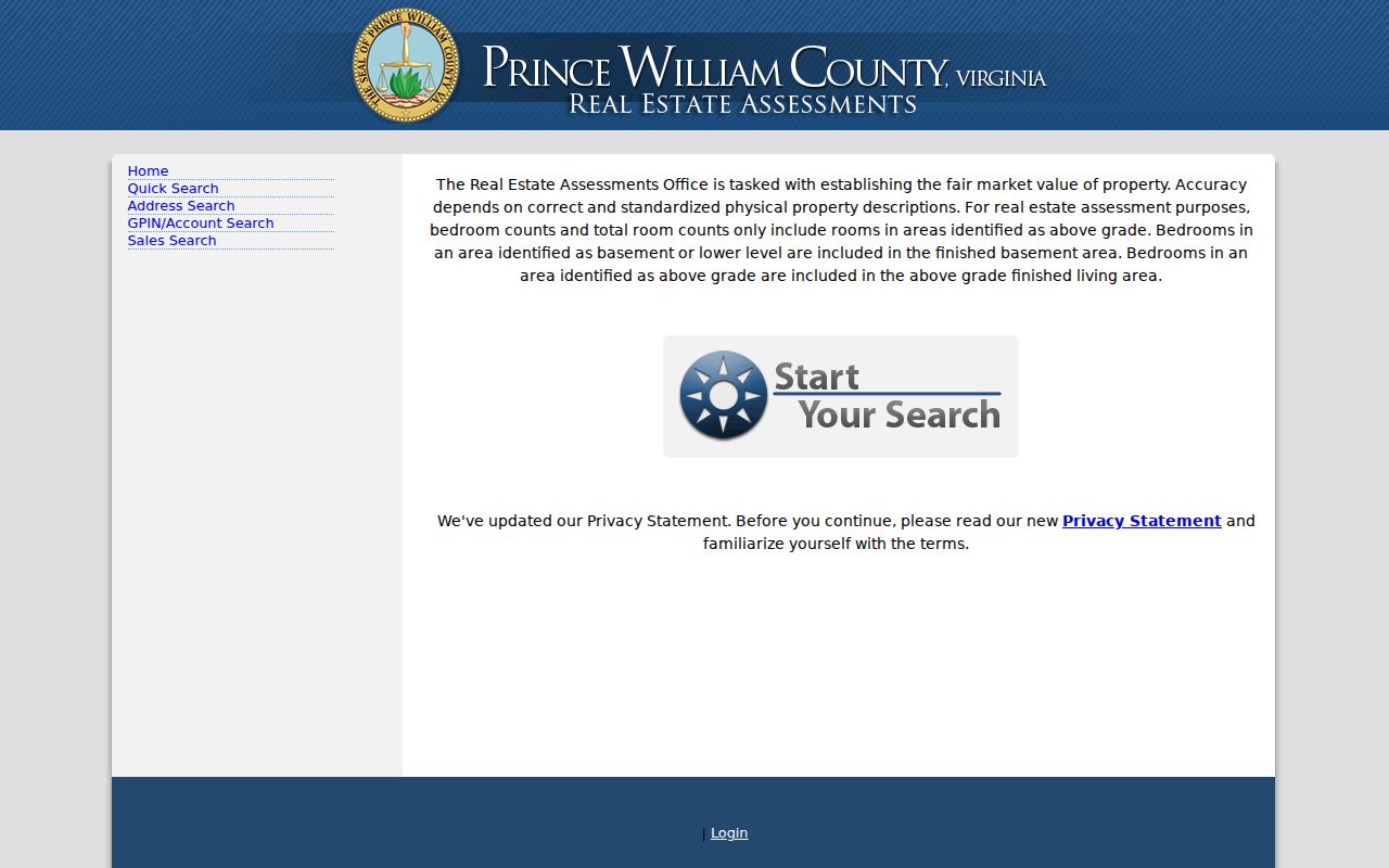
Public assessment information can show ownership, sale date and price, legal description, land and building description, and valuation data. Confirm whether an address field is a tax mailing address or the parcel situs before using it as a location anchor.
Woodbridge County Mapper Context
County Mapper supports GPIN, street number, street name, street type, and multi-unit address routes. Its close-scale Show Parcel Info tool can display an address and GPIN, while identify tools use active layers. The map is informational rather than a legal survey. It is especially helpful after a Woodbridge ZIP has been validated because it lets a researcher test the actual street and parcel rather than relying on a broad postal label.
The County Mapper query panel below shows the address and parcel context available for a Woodbridge ZIP search.
For a changed parcel, use the Parcel History Tree to follow parent and child GPIN relationships, then reconcile the change with a deed or plat. A new GPIN can reflect a split or merger, not a move by a named person.
At close scale, the map’s parcel-information tool and active layers make the Woodbridge result more specific than a postal label. Preserve the GPIN, layer name, map date, and scale with a research note. The County warns that mapped boundaries may not align exactly with aerial imagery or legal descriptions. A plat or recorded instrument remains the appropriate document when the boundary itself matters.
Woodbridge Postal Label Mismatch
Woodbridge has no incorporated city government. It is an unincorporated census-designated place within Prince William County, while a ZIP code is a USPS routing label. Census CDP and ZCTA lines are separate geographic constructs. The County map pairs 22192 with Woodbridge and Lake Ridge, and pairs 22193 with Woodbridge and Dale City. A Woodbridge postal address may therefore use a community label that does not answer the parcel, court, school, precinct, or municipal-boundary question.
This is the local geography quirk that makes a Woodbridge postal reference more useful when it displays the overlapping labels. Use the court locality, GPIN, street segment, and source’s own place label as separate facts. A postal label can support delivery research, but it does not replace the County jurisdiction anchor. Preserve historic ZIPs and place names in older records instead of silently converting them to a current label.
The contrast is practical. A Census search can describe the Woodbridge CDP or its ZCTA-related geography, while USPS assigns a mailing ZIP and Prince William County assigns addresses and maintains parcel data. None of those systems is a substitute for the other. A Woodbridge entry from a directory, deed, or court file should retain the place label written by that source. If its ZIP points toward Lake Ridge or Dale City, treat that as a postal clue that needs a parcel, street-segment, or court-locality check.
That comparison also avoids a false negative. A search limited to one Woodbridge mailing label can miss a record indexed by the surrounding community label, even though the source describes the same broad postal area. Note the historic spelling, ZIP, address range, and year. Then compare only supported geographic fields before connecting a record to a present-day parcel.
Woodbridge ZIP Records
Older Woodbridge material may use a street name, tract, village, or postal label that does not match a current address display. County addressing archives and the official address-validation process are the proper routes when a number or street name appears inconsistent. Route 1’s earlier Jefferson Davis Highway name and current Richmond Highway name are a local crosswalk to search when an old address record is involved. A ZIP is one part of that trail, alongside the source date, street form, and parcel identifier.
Keep the original address wording in the research notes, then record the later address form only as a separate supported crosswalk. The County street directory’s left and right low and high ranges, subdivision or area, ZIP, and precinct fields can help locate a segment before a parcel query. A zero range means no information, not an empty street. This prevents a Woodbridge ZIP search from turning a historic match into an unsupported claim about a current location.
Woodbridge ZIP Boundaries
A ZIP never establishes residence. It cannot show who receives mail at a property, who lives there, or whether an address falls inside the Woodbridge CDP. For a parcel question, verify the address in County Mapper and the assessment record. For a court matter, use the appropriate Prince William or Virginia court custodian. For a life-event record, follow VDH release and eligibility rules. The Woodbridge postal reference is a way to identify geography before using the correct official record for the actual question.
- ZIP and ZIP+4
- A ZIP code is the five-digit postal routing code. ZIP+4 adds four digits to refine delivery routing for a more specific address range or delivery point.
- PO Box ZIP
- A ZIP assigned for post-office box service. It is a postal service designation, not a statement about a street parcel.
- Unique ZIP
- A ZIP used by one organization or high-volume recipient. No Woodbridge example is asserted here because the reviewed research did not identify one.
- Carrier route
- A postal delivery grouping used to organize mail delivery. It is not a resident list or a municipal boundary.
Mismatch check. When a Woodbridge mailing label, County parcel, and historic source disagree, record each label and verify the specific custodian record before drawing a conclusion.